Skip to content
LocationIQ Blog

  • Home
  • Pricing
  • Demo
  • Contact
  • Login
  • Sign Up
  • Home
  • Pricing
  • Demo
  • Contact
  • Login
  • Sign Up
  • Use Cases

    A Better Family Finder App: Leveraging LocationIQ’s Geocoding, Geofencing, and Map APIs

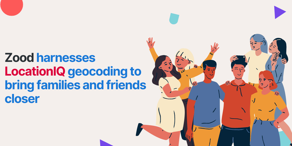
    As a business with a consumer app in the family/friend finder space, you already understand that location APIs are essential for providing your users with the best experience. This space has seen a significant increase in competition over the past few years, with many new apps entering the market and…

    Continue Reading
  • Migration Guides

    From Google Maps to LocationIQ: A Practical Guide to Saving Money on Geocoding, Maps, and Routing

    Does your business use Google Maps Platform for your products or services? You’re definitely not alone. Google Maps platform provides invaluable location APIs that are essential to many products and services. However, as the platform has become more popular, so have its costs, making it increasingly expensive to use. If…

    Continue Reading
  • Best Practices

    Choosing Static Maps: Use Cases Where Simple, Fast-Loading Maps are Key

    If you want to enhance the user experience of your website or speed up your mobile app, considering your map choices is a good place to start. Sure, dynamic maps are interactive and feature-rich, but there are times when a more traditional, low-tech solution like a static map is a…

    Continue Reading
  • Use Cases

    The Role of Location APIs in Shaping the Future of Field Service

    The field service industry provides a crucial link between customers and their service providers. Field service professionals have the unique ability to provide an in-person experience that can promote customer satisfaction and loyalty. This can be especially important in industries where customers need personalized attention and installation, such as automotive…

    Continue Reading
  • Comparisons

    Why Open Source Is Best for Your Business: The OpenStreetMap vs Google Debate

    As businesses across the world continue to develop powerful software and applications that rely on geospatial capabilities, the decision of which mapping platform to use often becomes a critical one. Do you go with the world-renowned solution, Google Maps, and its vast network of mapping APIs? Or, is it a…

    Continue Reading
  • How to add addresses to OpenStreetMap
    Tutorials

    How to Add an Address to OpenStreetMap: A 3 Step Guide

    Context: LocationIQ uses a combination of OpenSource and third party datasets behind its APIs. OpenStreetMap is the most prominent OpenSource dataset we use. OpenStreetMap is a completely free online, editable map of the world! The OpenStreetMap community consists of enthusiastic and passionate people from all around the world passionate about…

    Continue Reading
  • How LocationIQ APIs are used by job portals for recruitment
    Use Cases

    How Job Portals use Location APIs to Increase Efficiency in Recruiting

    Recruitment in the Digital Age Recruitment is a complex space, with a ton of competition, low differentiation and a LOT of noise. In order to stand out from the competition and deliver the best results, hiring marketplaces need to be on the cutting edge of technology. GIS has transformed the…

    Continue Reading
  • geocoding for real estate
    Use Cases

    A Guide to Location APIs for Real Estate platforms

    If you’re a real estate professional, you know that the industry is highly competitive! With so many agents and brokers vying for the attention of buyers and sellers — how do you stand out? One way to differentiate is by offering a top-notch user experience on your website. This can…

    Continue Reading
  • Tutorials

    Quick Introduction to Reverse Geocoding with Python

    Reverse geocoding takes latitude and longitude points, obtained by GPS devices, and returns associated street addresses and place names. This is useful if you want to plot GPS data on a map and show the address. In this tutorial, we’ll be covering how to use reverse geocoding with Python with…

    Continue Reading
  • Zood and LocationIQ
    Customer Showcase

    Zood harnesses LocationIQ’s geocoding to bring families and friends closer

    Zood harnesses LocationIQ's geocoding technology to bring families and friends closer by allowing users to easily locate each other's approximate locations so they can plan and coordinate meetups more effectively.

    Continue Reading
1 2 3 4 5

Categories

  • Announcements
  • Best Practices
  • Comparisons
  • Customer Showcase
  • Migration Guides
  • Partnerships & Integrations
  • Tutorials
  • Use Cases

Recent Posts

  • Streamlining the Search: How Bostadsval Simplifies the Rental Market with LocationIQ
  • Announcing LocationIQ’s integration with MapPress: No-Code Geocoding & Maps
  • Holistic Health Made Simple: How CureMe uses LocationIQ to match users with Health Professionals
  • LocationIQ x Maps Marker Pro: No-Code Maps and Geocoding for WordPress Users!
  • Worry-Free Pet Care: How animalhotels.com uses LocationIQ to Create Peace of Mind for Pet Owners
  • Convert Addresses to Latitude & Longitude with Google Sheets
  • Convert Latitude and Longitude to Addresses with Google Sheets
  • Enhancing Property Search: How JHELY Leverages LocationIQ APIs for a Seamless User Experience

Search

© 2025 LocationIQ
Graceful Theme by Optima Themes