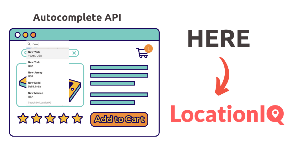
Static Maps are the watered-down version of regular maps – They don’t require JavaScript or any dynamic page loading. They’re mostly used on websites that want to visualize a particular address without needing the interactivity of a regular map.
———————
This is part 2 of a 5-part series.
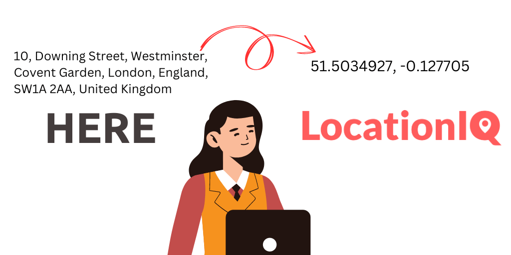
- From Google to LocationIQ: Geocoding
- From Google to LocationIQ: Static Maps
- From Google to LocationIQ: Maps
- From Google to LocationIQ: Directions (coming soon)
- From Google to LocationIQ: Snap to Roads (coming soon)
———————
A standard static map REST API call contains:
- Endpoint
- Access Token
- Center coordinates
- Additional Parameters
1. Endpoint
This is a fairly straightforward change
[wp_table id=319/]
2. Access Token
Another small change that’ll help us identify a request coming from you
[wp_table id=321/]
3. Center Coordinates
This is the area in the map you want highlighted and at the center. Tiles surrounding this point will be loaded
[wp_table id=322/]
4. Additional Parameters
These parameters involve changes to the output – necessary when adapting maps to your website/ app
[wp_table id=323/]
Did we miss something? Write to us with details on your deployment – we’re happy to help!