Reverse geocoding takes latitude and longitude points, obtained by GPS devices, and returns associated street addresses and place names. This is useful if you want to plot GPS data on a map and show the address. In this tutorial, we’ll be covering how to use reverse geocoding with Python with…
Tutorials
-
-
Vector or raster maps: which one is best for you?
When dealing with geographic data, you have two key options when it comes to map types: vector and raster. Both offer their own benefits and drawbacks, so how can you decide which one to use? Here is an overview of the distinctions between vector and raster maps, and what occasions…
-
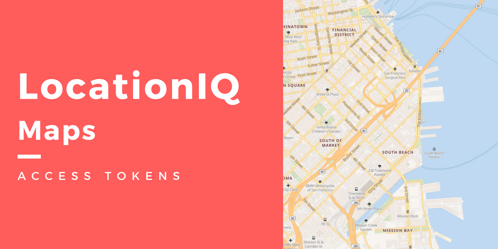
Secure your LocationIQ Maps deployment with Access tokens!
We would like to thank our users for the overwhelmingly positive response for our Maps API launch! We’ve received a ton of appreciation and feedback about our service. The appreciation helps us morally, and the feedback helps us set our goals for the future. 🙂 Thanks to that feedback; today, we’re…


